KEY POINTS
- A significant collapse of the stratospheric polar vortex is sending freezing air deep into the United States.
- Meteorologists track a developing bomb cyclone expected to bring heavy snow and coastal flooding to the Northeast.
- Extremely cold temperatures will reach as far south as Florida during this historic weather event.
A massive shift in atmospheric patterns is currently reshaping the winter season across North America. Forecasters are monitoring a significant disruption in the stratospheric polar vortex. This high-altitude wind circle usually keeps freezing air trapped over the Arctic. A recent warming event caused the vortex to weaken and shift its position.
This collapse allows cold polar air to spill southward into southern Canada and the United States. Meteorologists expect this shift to trigger a series of severe winter weather events. The primary concern focuses on a powerful low-pressure system forming along the East Coast. Experts describe this intensifying storm as a potential bomb cyclone.
A bomb cyclone occurs when atmospheric pressure drops rapidly within a 24-hour window. This process creates intense winds and heavy precipitation. Current models suggest the storm will track near the Atlantic coastline. This path puts major metropolitan areas at high risk for significant snow accumulations.
The storm will likely develop into a classic Nor’easter by the end of the week. Coastal regions face the dual threat of hurricane-force gusts and rising tide levels. High waves may cause significant beach erosion in several states. Inland areas should prepare for near-whiteout conditions and dangerous travel.
The reach of this Arctic blast extends far beyond the snowy Northeast. Freezing temperatures will dive deep into the southern United States. Florida residents can expect a rare and significant drop in thermometer readings. Some agricultural regions may experience frost conditions that threaten local crops.
The disruption of the polar vortex often leads to prolonged periods of volatile weather. This event marks a sharp contrast to the milder conditions seen earlier in the season. Energy grids will likely face increased demand as heating needs surge across the country. Authorities urge citizens to prepare for possible power outages caused by ice and wind.
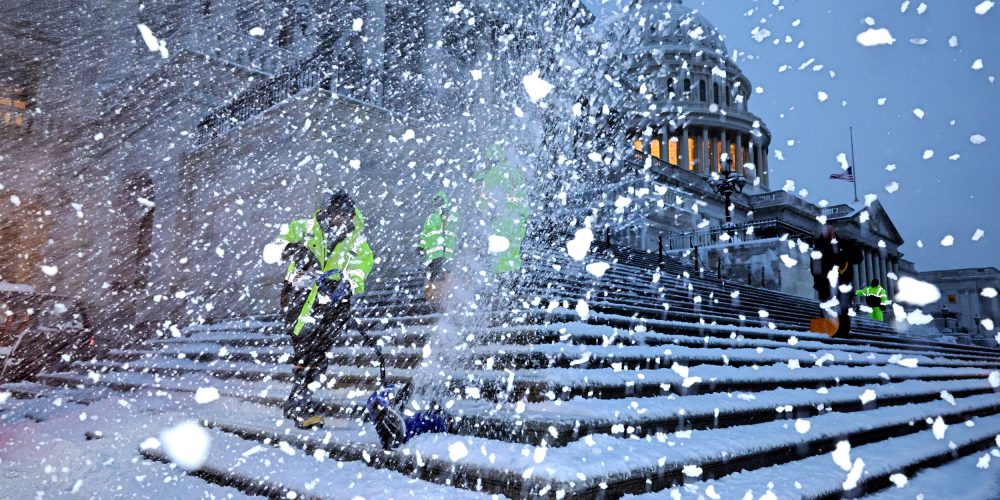
Local governments are already positioning snow removal equipment in key locations. Emergency shelters are preparing to open for those lacking adequate heating. Travel hubs expect widespread cancellations as the storm reaches peak intensity. Airlines have started issuing travel waivers for several major airports.
Conditions will continue to evolve as the storm interacts with warmer Atlantic moisture. This interaction provides the fuel necessary for rapid intensification. Residents should monitor local weather updates frequently as the system approaches. The impact of this polar vortex collapse will likely define the remainder of the winter.


