KEY POINTS
- A major weather pattern shift is ending California’s recent warm and dry spell with consecutive winter storms.
- Mountain regions expect heavy snow and gusty winds, creating potentially hazardous travel conditions through Donner Pass.
- The moisture is highly beneficial for the state’s reservoirs and ski resorts, which have remained well below average this season.
California is bracing for a series of winter storms after an unusually dry and warm start to the year. For the past month, a high-pressure system parked over the region diverted rain and snow toward the Pacific Northwest. This pattern left many California cities with temperatures several degrees above historical averages. Now, meteorologists report that the high pressure is finally weakening, allowing colder Pacific air to flow into the state.
This transition marks a critical turning point for California’s water supply and winter recreation industry. Currently, snowpack levels at many local ski resorts are hovering below forty percent of their typical average. In contrast, resorts in New England are experiencing one of their most active winters in years. The arrival of these storms is expected to help bridge this gap and provide a necessary boost to the state’s reservoirs.
The first major wave of precipitation is set to impact a broad area early this week. Residents in cities like San Francisco, Fresno, and Los Angeles should expect periods of rain and localized urban flooding. While the moisture is welcome, authorities warn that the first rain after a long dry spell can make roads exceptionally slick. Commuters are urged to exercise caution as the weather shifts.
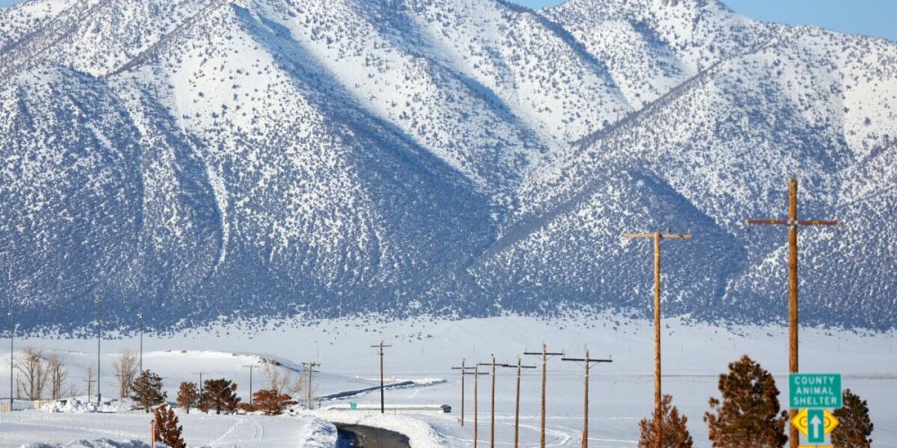
In higher elevations, the impact will be even more dramatic. Across the Sierra Nevada, snow levels are projected to drop rapidly as cooler air settles in. Travelers using Interstate 80 should prepare for difficult conditions, particularly through high-mountain corridors. Forecasters expect several inches of accumulation, which could lead to dangerous driving environments during the middle of the week.
Strong winds will accompany the falling snow, further complicating travel. Gusts of up to 40 mph are expected to batter mountainous terrain, creating blowing snow and reduced visibility. High-profile vehicles may face significant challenges navigating these conditions. State transportation officials may implement chain requirements or temporary road closures if the visibility becomes too poor for safe passage.
While the weather may briefly clear later in the week, the active pattern is expected to continue. Long-range forecasts suggest that additional storms will line up to hit the West Coast through late February. This persistent cycle of rain and snow is exactly what the state needs to recover from its mid-winter lull. It provides a glimmer of hope for a strong finish to the 2026 winter season.
Ultimately, the shift in the jet stream is a vital development for the region’s long-term environmental health. Consistent mountain snow is the primary source of water for much of the state during the summer months. As the storms move inland, they bring the promise of a more balanced winter. For now, Californians are encouraged to stay informed and prepare for a much colder, wetter few weeks ahead.


