KEY POINTS
- AccuWeather meteorologists are tracking a strengthening winter storm that has the potential to dump deep snow across the Northeast coastal corridor.
- The exact track of the storm remains critical, with even a slight shift of a few miles determining whether cities from Washington, D.C. to Boston see major accumulations or a mix of rain and snow.
- Coastal areas face additional threats of high winds and potential coastal flooding as the system intensifies over the Atlantic.
A powerful winter storm is gathering strength as it moves across the United States, putting the Northeast on high alert for a significant snow event this weekend. Forecasters at AccuWeather emphasize that the “margin for error” with this particular system is incredibly thin. Because the storm is expected to hug the coastline as it moves north, the transition line between heavy, wet snow and plain rain will likely sit right over major metropolitan areas, making final snow totals difficult to predict with certainty until the storm is closer to landfall.
If the storm tracks further inland, the I-95 corridor—including Philadelphia, New York City, and Boston—could see a period of heavy snow followed by a changeover to rain, which would limit total accumulations but create a slushy, hazardous mess for commuters. Conversely, a track just slightly further out to sea would keep these cities in the “cold sector” of the storm, potentially leading to over 6-12 inches of snow in some locations. Areas further inland and at higher elevations in New England are currently the most likely candidates for the heaviest “deep snow” totals.
Beyond the snow, the strengthening nature of the storm raises concerns about wind and surf. As the system intensifies, a strong pressure gradient will develop, leading to gusty winds that could cause power outages, especially where heavy snow weighs down tree limbs and power lines. Coastal residents should also be prepared for minor to moderate coastal flooding during high tide cycles, as strong onshore winds push Atlantic water into bays and inlets.
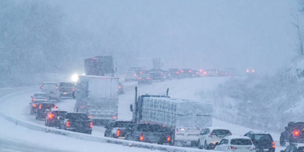
Travel disruption is expected to be widespread starting Saturday and lasting through Sunday evening. Major airlines have already begun monitoring the system for potential flight cancellations and delays at hubs like JFK, Logan International, and Newark. Authorities are urging residents to complete their storm preparations early, including stocking up on essential supplies and checking on elderly neighbors, as the combination of falling snow and high winds could lead to near-blizzard conditions in some coastal stretches.
AccuWeather’s Expert Forecast teams will continue to provide minute-by-minute updates as the storm’s path becomes more defined. With the potential for a “slam” of deep snow in coastal areas, this event is being monitored as one of the more significant winter weather threats of the 2026 season. Residents are encouraged to stay tuned to local alerts and avoid unnecessary travel once the precipitation begins.


