KEY POINTS
- Multiple storm systems are expected to reach the West Coast beginning in mid-February.
- Significant snow totals are forecasted for the Sierra Nevada and the Cascades.
- Coastal regions face heightened risks of flash flooding and debris flows due to saturated soil.
The Western United States is entering a high-alert phase as meteorologists track a shift in the Pacific jet stream. This atmospheric change is opening a corridor for several major storms to reach the coastline. Starting this week, California and neighboring states will likely experience a relentless sequence of moisture-heavy weather events. These systems threaten to disrupt travel and daily activities across the region.
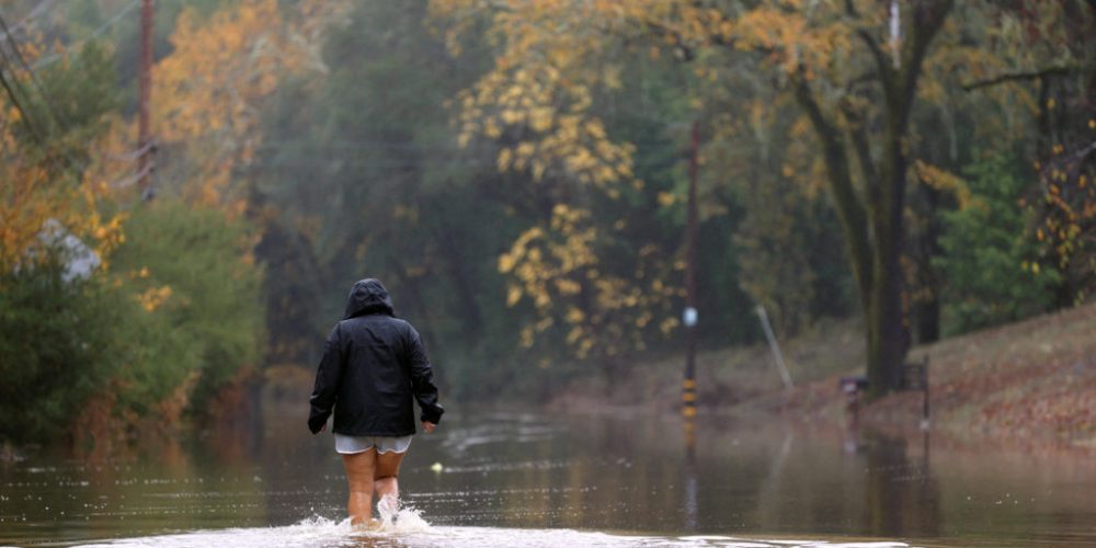
Northern and Central California are expected to bear the initial brunt of the activity. Heavy rain will likely impact major metropolitan areas, increasing the risk of urban flooding. In the higher elevations, the Sierra Nevada could receive several feet of new snow. This is vital for the state’s water supply but creates hazardous conditions for mountain passes.
The moisture source for these storms resembles an atmospheric river. This phenomenon can transport vast amounts of water vapor from the tropics directly to the West Coast. While this moisture is necessary for drought prevention, the timing is concerning. Because previous storms have already soaked the ground, the risk of mudslides in fire-scarred areas is notably high.
Travelers should prepare for significant delays on major interstates and at regional airports. High winds are expected to accompany the rain, which could lead to power outages in wooded areas. Officials are urging residents to clear storm drains and secure outdoor items before the first system arrives. Consistent precipitation is projected to last well into the latter half of the month.
The Pacific Northwest will also see a marked increase in storm activity. Washington and Oregon are slated for cold, wet conditions that will bolster snowpacks in the Cascades. These storms serve as a reminder that the winter season is far from over in the West. Local emergency services are already positioning resources to respond to potential flooding or road closures.
Long-range models suggest that the storm door may remain open for at least ten days. This persistent pattern will test the resilience of local infrastructure and flood control systems. While the rain helps maintain reservoir levels, the intensity of the incoming systems remains a primary concern. Residents are advised to stay informed through local alerts as the situation develops.


