KEY POINTS
- A slow-moving storm system delivered over 30 inches of rain and 70-mph wind gusts across the Hawaiian Islands.
- Thousands of residents lost power as falling trees and utility poles damaged critical infrastructure on multiple islands.
- High-altitude peaks Mauna Kea and Mauna Loa received a foot of snow, leading to summit road closures and winter warnings.
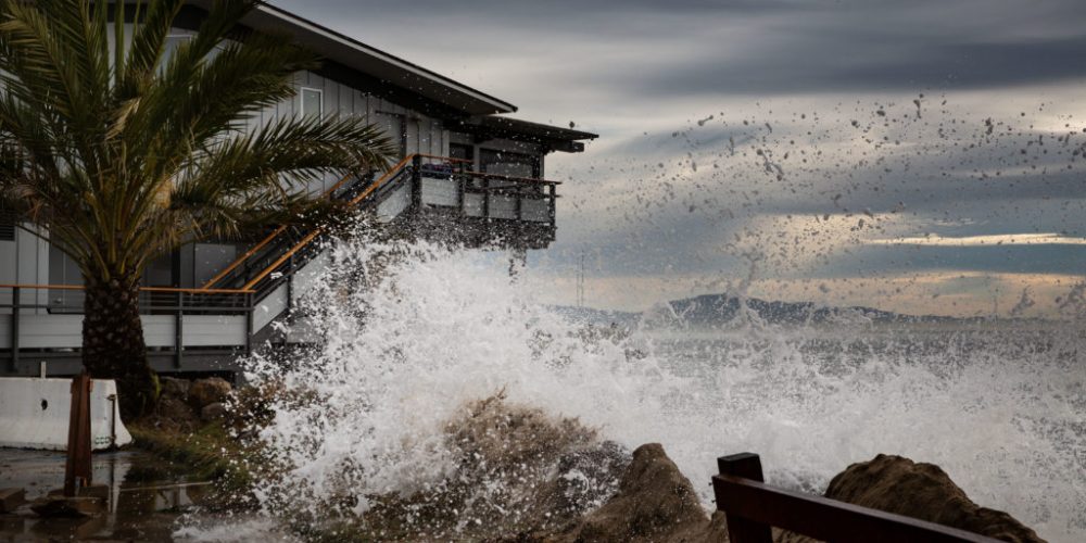
A violent weather system moved across Hawaii this week, leaving a trail of destruction and unusual winter conditions in its wake. The combination of a stalled front and low pressure triggered widespread flooding and near-hurricane-force winds. On Monday, every part of the state remained under a flood watch as officials assessed the damage. The storm’s intensity forced the closure of all public schools and the University of Hawaii.
Rainfall totals were staggering during the peak of the event. On the Big Island, Laupahoehoe recorded over 30 inches of rain, while parts of Maui saw more than 23 inches. This immense volume of water led to significant flooding on several major roadways, stranding motorists and damaging property. Emergency crews worked through the weekend to clear debris and manage rising water levels in residential neighborhoods.
The wind proved equally destructive, with gusts exceeding 70 mph on Maui and Moloka’i. Honolulu and other parts of Oahu faced gusts over 60 mph, which toppled trees onto power lines and homes. Hawaiian Electric reported that roughly 45,000 customers lost power during the storm’s height. While many were reconnected quickly, thousands remained in the dark as crews battled difficult conditions to repair snapped utility poles.
In a sharp contrast to the tropical flooding below, Hawaii’s highest peaks experienced a full winter blizzard. Mauna Kea and Mauna Loa both received approximately a foot of snow, prompting winter storm warnings for high elevations. The road to the summit of Mauna Kea was closed due to the dangerous conditions and heavy accumulation. While snow is common at these altitudes, the intensity of this particular event was noteworthy.
The geography of the Big Island allows for these extreme weather contrasts. Both major peaks rise above 13,000 feet, which is higher than the tallest points in most U.S. states. These elevations frequently see winter weather advisories between fall and spring. However, the combination of heavy summit snow and massive lowland flooding made this a particularly complex event for local authorities to manage.
Meteorologists indicate that the primary storm system will begin to pull away after Monday. However, residents in the western portions of the island chain must remain on high alert. A new area of low pressure is expected to move toward the region later this week. This could bring another round of heavy rain to ground that is already completely saturated.
Recovery efforts are now the primary focus for state and local agencies. Crews are prioritizing the restoration of the power grid and the clearing of blocked highways. Officials are also monitoring the stability of slopes following the record-breaking rainfall. Residents are urged to avoid flooded areas and stay clear of any downed power lines as the cleanup continues.


