KEY POINTS
- Fresh yellow weather warnings for rain cover Devon and Cornwall following the severe flooding caused by Storm Chandra.
- Forecasters expect 25mm of daily rainfall on already saturated ground, heightening the risk of further property damage.
- Dangerous 15-foot waves and long swell periods prompt emergency safety warnings for coastal residents and walkers.
Met Office officials have released new weather warnings for southwest England as the region continues to reel from Storm Chandra. These fresh alerts target Devon and Cornwall, where residents recently faced school closures and major transport chaos. The latest forecast predicts consistent rainfall through Tuesday morning. While these totals are lower than the peak of the storm, the impact could still be severe.
Saturated ground remains the primary concern for emergency responders and local authorities. Because the soil cannot absorb more moisture, even moderate rain now leads to rapid surface runoff. Chief forecasters warn that this creates a high probability of localized flooding for homes and businesses. Many river levels across the south remain dangerously close to their banks after record-breaking January totals.
Coastal safety has also become a critical priority for the RNLI and other rescue charities. Experts predict waves reaching heights of 15 feet along exposed beaches and harbor walls. A rare 17-second swell period accompanies these waves, which can cause sudden surges of water. This phenomenon can catch walkers off guard, sweeping them 200 meters up a beach in seconds.
The human toll of the recent weather remains evident in several communities. In Somerset, local councils confirmed that flooding has already damaged approximately 50 properties across various towns. Residents in Ilminster and Taunton are among those dealing with the long process of drying out their homes. Officials urge the public to avoid floodwater, which can contain hidden hazards and pose a danger to life.
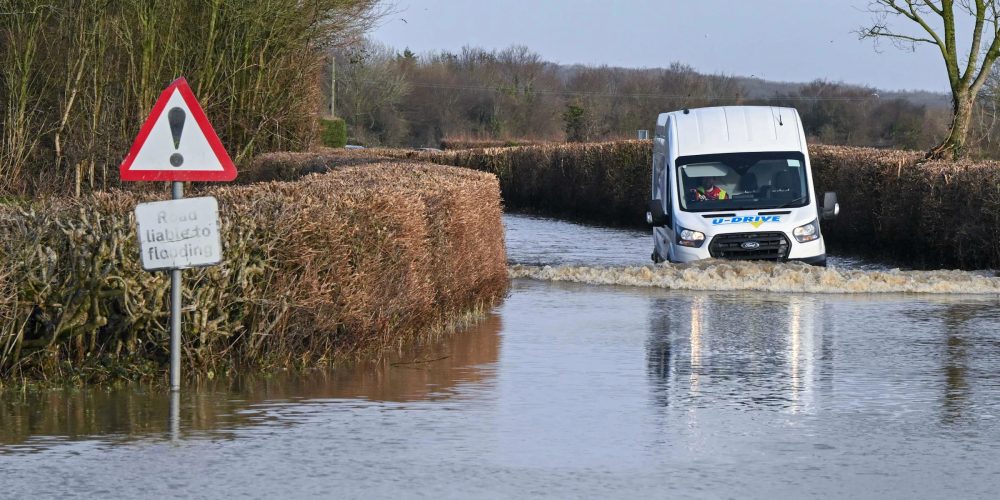
Travel disruptions continue to plague regional infrastructure as the rain persists. National Rail and local bus operators have warned of ongoing delays due to waterlogged tracks and submerged roads. Drivers are advised to slow down and avoid taking risks on flooded routes. High-risk areas like the Somerset Levels remain under constant monitoring as water moves through the river systems.
Meteorologists expect the unsettled conditions to last throughout the start of the week. While the southwest faces rain, northern parts of the UK are bracing for further snow and icy patches. This mix of wintry weather ensures that emergency services stay on high alert nationwide. Public members are encouraged to check the latest maps and warnings before planning any essential journeys.


