KEY POINTS
- Meteorologists are tracking a significant severe weather setup across the U.S. Plains, signaling an early and volatile start to the spring storm season.
- The system carries a high risk of large hail, damaging wind gusts, and isolated tornadoes from Texas through Nebraska.
- Rising temperatures and increasing moisture from the Gulf are fueling the atmospheric instability required for supercell development.
As February draws to a close, the central United States is bracing for a powerful transition into spring. AccuWeather forecasters have issued a widespread warning for the Plains region, where a developing storm system is expected to ignite the season’s first major round of severe thunderstorms. The threat zone is expansive, covering a corridor from the Texas Panhandle up into the central Plains, with the most intense activity anticipated as March kicks off.
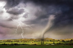
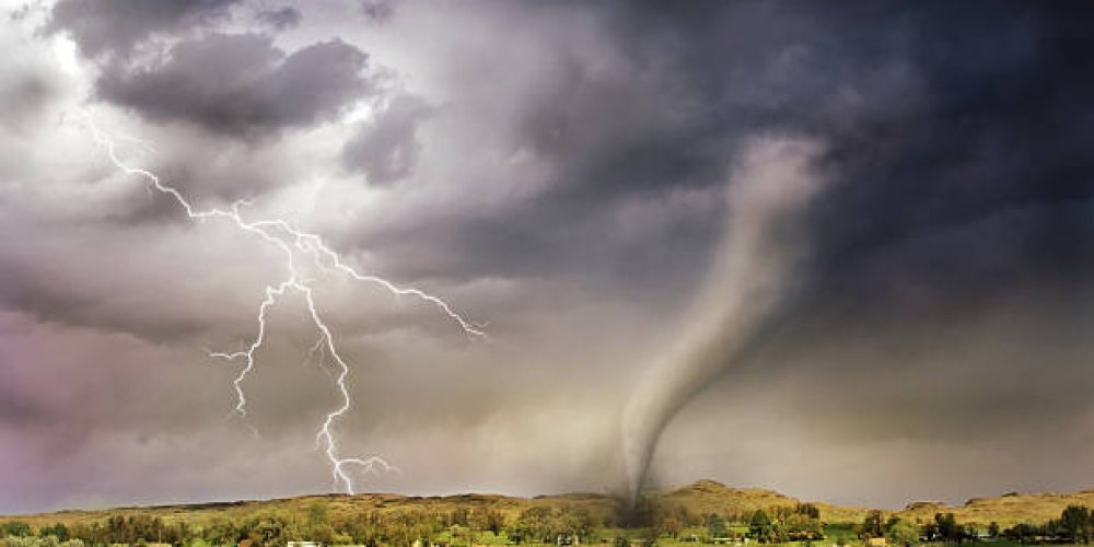
The driving force behind this weather event is a sharp clash between unseasonably warm air surging north from the Gulf of Mexico and a cold, energetic trough moving in from the west. This “battle of the air masses” is creating a classic severe weather environment. Experts are particularly concerned about the potential for “all-hazards” storms, meaning residents should be prepared for more than just heavy rain. The atmospheric profile suggests that any storm that develops could quickly become a supercell capable of producing significant hail and dangerous straight-line winds.
Tornado potential is also being monitored closely. While the early season can sometimes be unpredictable, the presence of strong low-level wind shear is a red flag for rotating storms. Emergency management officials in states like Oklahoma and Kansas are urging residents to review their severe weather plans and ensure they have multiple ways to receive warnings, especially during the overnight hours when storms can be harder to spot.
Beyond the immediate danger of the storms, the system is expected to bring heavy rainfall that could lead to localized flash flooding. After a relatively dry winter for parts of the southern Plains, the ground may not be able to absorb the sudden deluge quickly enough. Travelers are advised to remain vigilant, as blinding rain and high winds could make driving hazardous across major interstate corridors.
As the system progresses eastward through the first week of March, the severe threat is likely to shift toward the Mississippi Valley. This early-season surge serves as a reminder that the window for quiet winter weather is closing. With the “Storm of the Week” pattern beginning to take hold, the Plains are once again at the forefront of the nation’s most dynamic weather activity.