KEY POINTS
- Intense thunderstorms and heavy rainfall are forecast to sweep across the Gulf Coast and Southeast this week.
- Potential weather disruptions are causing concern for fans traveling to major outdoor sporting events in Florida.
- Meteorologists warn of localized flash flooding and damaging wind gusts as the front moves eastward.
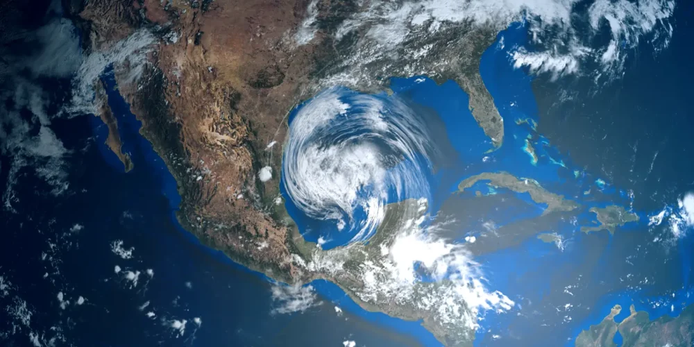
The Southern United States is bracing for a round of turbulent weather as a vigorous storm system moves through the region. Atmospheric conditions are aligning to produce heavy rainfall and the potential for locally severe thunderstorms. Residents from eastern Texas through the Florida Panhandle should prepare for significant weather shifts. This system is expected to gain strength as it draws moisture from the Gulf of Mexico.
The primary threats from these storms include drenching rains and powerful wind gusts. Forecasters are particularly concerned about the risk of flash flooding in low-lying areas. Some regions could see several inches of rain in a very short period. In addition to the water hazards, the most intense storm cells may produce small hail or isolated tornadoes.
This weather pattern is emerging at a critical time for sports enthusiasts. The annual NASCAR season opener in Daytona Beach is a major draw for thousands of travelers. While the most severe activity may stay slightly north of the track initially, the associated moisture will likely impact Florida. Fans are being advised to pack rain gear and stay updated on the latest radar imagery.
Travel conditions across the Southeast may become hazardous during the peak of the storm. Reduced visibility and standing water on major highways can create dangerous situations for motorists. Authorities recommend allowing extra travel time when moving through affected states. The timing of the front suggests that the worst conditions will persist through the middle of the week.
The clash between lingering warm air and an approaching cold front is fueling this instability. This setup is common for late winter but remains a significant challenge for outdoor event organizers. If the rain persists, it could saturate venues and parking areas long before the main events begin. Officials are monitoring the system’s speed to determine if it will clear the coast by the weekend.
Looking ahead, a shift in wind direction should eventually push the moisture offshore. However, the immediate focus remains on safety and property protection during the height of the storms. High-resolution models indicate that while the front is moving steadily, its impact will be felt widely across the Deep South. Consistent updates will be vital for those with outdoor plans.


