KEY POINTS
- Over 300 flood warnings and alerts are active across England as soil reaches full saturation.
- Persistent rainfall has affected parts of the UK every single day of 2026 so far.
- Emergency officials warn that just 30cm of moving water can float a standard vehicle.
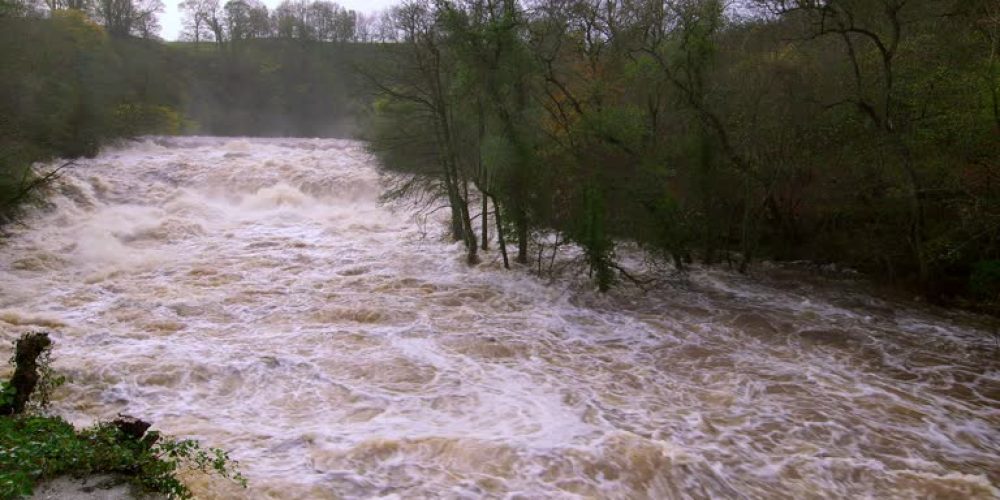
Heavy rain continues to lash large sections of the United Kingdom this Monday. The Environment Agency has placed over 100 urgent flood warnings into effect immediately. These warnings signal that flooding is expected rather than just a possibility. Another 200 alerts remain active for areas where flooding is considered possible.
The most severe conditions are focused on the South West and the Midlands. Saturated ground means that new rainfall cannot soak into the earth easily. This leads to rapid run-off and rising levels in already swollen river systems. Meteorologists expect an additional 30mm of rain in areas exposed to strong winds.
Travel disruption remains a significant concern for commuters across the country. Large pools of surface water are making roads dangerous for drivers. Officials urge the public to avoid driving through any flooded sections of road. They emphasize that water depth is often much greater than it appears to be.
The start of 2026 has brought unprecedented levels of moisture to the region. In South West England and Wales, rain has fallen every day this year. Some areas are seeing 50 percent more rainfall than the seasonal average. This relentless cycle has left infrastructure and emergency services under constant pressure.
At least 300 properties were confirmed as flooded following the events of Sunday. However, defensive measures have successfully protected over 16,000 other homes from damage. Floods Minister Emma Hardy expressed sympathy for those impacted by the rising waters. She urged all residents to monitor local safety advice closely.
Recent storms have contributed to the record-breaking start to the year. Northern Ireland just experienced its wettest January in nearly 150 years. Several counties in England and Wales also broke their all-time January rainfall records. February is following a similar trend with intense downpours in the first five days.
Weather patterns are expected to remain unsettled through Wednesday afternoon. Cloudy skies and intermittent rain will likely persist for most of the UK. The heaviest rain will once again target the South West and Wales. Residents in these zones should prepare for potential power outages or transport delays.
A shift toward colder and drier conditions is expected later this week. Snow showers may occur over high ground in Scotland and Northern England. By Thursday, most of the country should finally see some sunshine. This break in the weather will provide a vital window for recovery efforts.


