KEY POINTS
- A powerful bomb cyclone is bringing heavy snow and hurricane-force winds to the US East Coast.
- Multiple states have declared emergencies as blizzard conditions paralyze travel and knock out power.
- Meteorologists warn of life-threatening coastal flooding and record-breaking cold temperatures following the storm front.
A massive winter storm is currently battering the Eastern United States with extreme intensity. This weather event has rapidly intensified into a dangerous bomb cyclone. Forecasters describe the system as one of the strongest in recent memory. Millions of residents from the Carolinas to Maine face severe weather warnings.
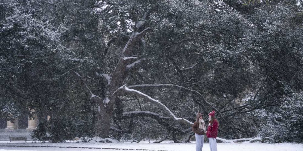
Heavy snowfall is accumulating quickly across several major metropolitan areas. Coastal regions expect the highest totals, with some areas bracing for over two feet of snow. Sustained winds are reaching speeds comparable to a Category 1 hurricane. These gusts are creating whiteout conditions that make travel nearly impossible.
State governors have issued emergency declarations to mobilize the National Guard. Officials are urging people to stay off the roads until the storm passes. Major airports have already canceled thousands of flights, disrupting travel across the entire country. Public transit systems in New York and Boston have suspended many services for safety.
Power outages are rising as heavy, wet snow weighs down trees and utility lines. Hundreds of thousands of customers are already without electricity in the cold. Utility crews are on standby but cannot begin repairs until wind speeds drop. This creates a critical situation for households relying on electric heating.
Coastal flooding remains a primary concern for low-lying communities. The storm is pushing a significant surge of seawater into streets and basements. High tides are exacerbating the damage along the Jersey Shore and Long Island. Emergency responders have performed several water rescues as the surge rose faster than expected.
The rapid drop in atmospheric pressure has shocked even experienced meteorologists. This process, known as bombogenesis, fuels the storm’s destructive power. Warmer ocean temperatures are contributing to the moisture levels within the system. Experts link the increasing frequency of such intense storms to shifting global climate patterns.
Bitterly cold air will follow immediately behind the departing storm front. Temperatures are expected to plummet well below zero in several states. This extreme cold poses a significant risk of frostbite and hypothermia to stranded residents. Wind chills will make conditions feel even more lethal during the cleanup efforts.
Local shelters have opened their doors to provide warmth for those without power. City officials are checking on vulnerable populations to prevent weather-related fatalities. The recovery process is expected to take several days once the snow stops falling. Residents should remain vigilant and continue monitoring local weather updates for the latest guidance.


